The Apollo program transfixed the United States and the world in the 1960s for its heroic effort to fulfill the promise of President John F. Kennedy to go to the moon. But its most endearing legacy may have been, not visiting the barren world that is our planetary companion, but granting us a view of the bounteous world that is our home.
When Apollo 8 astronaut William Anders snapped a photograph of Earth, partially in shadow, rising above the moon’s surface in 1968, he provided the clearest image yet seen of our world and its fragility in space.
Through interplanetary probes, orbiting satellites and camera-wielding astronauts, NASA and partners have compiled an ever-growing image library of our own planet.Taken by the crew of Apollo 17, the last crew to set foot on the moon, this powerful image of the planet was dubbed “Blue Marble.” Taken on December 7, 1972 and released at a time of increased environmental awareness, it has been described as “one of the most iconic images, not just of our time, but of all time.”
Our moon is unique in the solar system. Other planets used gravity to capture their satellites; ours formed when a young Earth collided with a smaller planet, ultimately creating the Earth-moon system captured here, in this December 1990 image from the Galileo satellite.
Whether via satellite or from Apollo, Space Shuttle or Space Station, the last five decades have produced a growing wealth of images of our planet from orbit. This LANDSAT image shows individual reefs in the southern part of Australia’s Great Barrier Reef, the largest structure made by natural organisms on Earth.
Sarychev Volcano, in the Kuril Islands northeast of Japan, erupts on June 12, 2009, the cataclysm was captured during a fortuitously timed pass overhead by the International Space Station (ISS).
Super Typhoon Noru photographed by ISS astronaut Randy Bresnick above the Northwestern Pacific Ocean on August 1, 2017. “You can almost sense its power from 250 miles above," said Bresnick at the time.
Blue meltwater streams and ponds dot the surface of the Greenland ice sheet in this 2016 satellite image. Although this is a natural phenomenon every spring and summer, it is happening earlier, faster and more extensively as the Arctic warms.
In the past, large icebergs would break from Antarctica’s Pine Island Glacier every four to six years. Calving then began to occur almost annually. This calving, in October 2018, produced an iceberg dubbed B-46 that, until it began to fracture, was 87 square miles in area.
For centuries, expedition after expedition failed to navigate the fabled Northwest Passage through Canada’s Arctic Archipelago, thwarted by impenetrable ice. A warming climate saw conditions gradually change, and in this 2016 image the former graveyard of explorers is almost completely open and navigable by cruise ships.
From space, it is possible to see not only the impacts of a changing climate, but also the fossil fuel use that is responsible for them. In the bottom right of this astronaut photograph is Kuwait City; at the top is the Iraqi town of Basra and its suburb Zubair. The lines of blotches just left of center are gas flares from the Zubair oil fields, among the brightest such flares observed from space.
The mass of light in the bottom right is South Korea; across the top left of the picture are the lights of southeastern China. The dark space between them is North Korea, the faint glow of Pyongyang the only illumination from the hermit kingdom.
On September 11, 2001, NASA astronaut Frank Culbertson was on board the International Space Station, the only American on the crew. As the ISS flew over the New York City area, he trained a camera on the scene below and documented this plume of smoke extending across Lower Manhattan from the World Trade Center.
Wildfires that burned through large swaths of Australia in late 2019 and early 2020 is here captured by this image from the Operational Land Imager (OLI) on Landsat 8 of burned land and thick smoke covering Kangaroo Island.
From a distance of 898 million miles, Earth appears as a tiny speck beneath Saturn’s rings in this image from the Cassini spacecraft.
As it headed out of the solar system forever, Voyager 1 sent back one last shot of its home world, a pale blue dot in the vastness of space. This version, released in 2020, uses modern image-enhancing software and techniques to brighten the iconic image.
Compiled from a series of images taken by the Lunar Reconnaissance Orbiter (LRO) on October 12, 2015, this image evokes the first "Earthrise" photograph, taken by William Anders from on board Apollo 8 in 1968. Noted Jeffrey Kluger in TIME magazine upon the image’s release: “The moon has not felt the press of human boots for 43 years, and it could be many more years before it does again. But the view from the world we visited and left remains spellbinding.”
1 / 15: NASA
'Earthrise,' 'Blue Marble' and 'Pale Blue Dot'
The Apollo missions, which concluded in 1972, coincided with the birth of the modern environmental movement—the founding of Friends of the Earth in 1969 and Greenpeace in 1971, the first Earth Day in 1970, among other seminal events—and the sight of Earth from space offered inspiration and motivation. Many years later, photographer Galen Rowell described Earthrise as “the most influential environmental photograph ever taken.”
Earthrise was followed by Blue Marble, a view of the Earth taken from the Apollo 17 spacecraft in 1972. That was the last of the Apollo moon missions, but NASA’s space probes continued to take longing glances back toward their home world.
Among the most famous of those images was taken in 1990. On the initiative of Carl Sagan, who first proposed photographing Earth with Voyager cameras in 1981, Voyager 1 snapped the image of a barely visible Earth that became known as the “Pale Blue Dot.” Voyager also captured images of Neptune, Uranus, Saturn, Jupiter and Venus, and staff at NASA’s Jet Propulsion Laboratory mounted the set as a mosaic on an auditorium wall. The image of Earth had to be repeatedly replaced because so many people touched it.
A Library of Earth Images Continues to Grow
In 1989, NASA formalized a Mission to Planet Earth, in which examining the third planet from the sun was no longer incidental to its work but central to it. In the three decades since then, the agency’s Earth Science program observation has expanded along with both the technological ability and the growing imperative to do so.
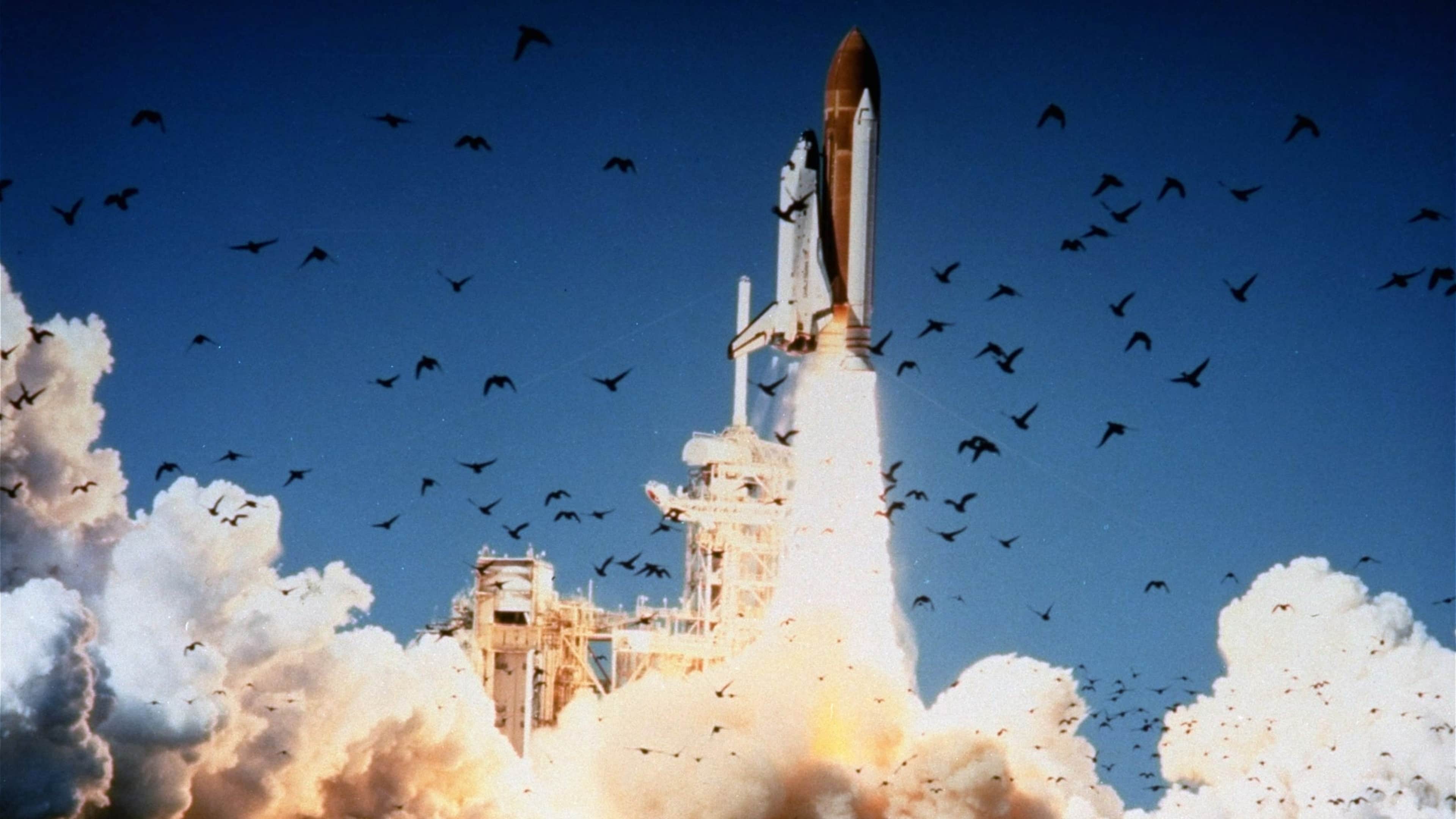
Through interplanetary probes, orbiting satellites and camera-wielding astronauts on space shuttles and the and the International Space Station, NASA and partners such as the European Space Agency (ESA) have compiled an ever-growing image library of our own planet.
The images reveal how Earth is altered by land use, human activities, weather phenomena and climate changes. The thousands upon thousands of images reveal moments in time and seemingly timeless vistas, of our world up close and from afar.
As Anders himself observed, 50 years after his first Earthrise image was released: “We set out to explore the moon, and instead discovered the Earth.”
Sign up for Inside History
Get HISTORY’s most fascinating stories delivered to your inbox three times a week.
By submitting your information, you agree to receive emails from HISTORY and A+E Networks. You can opt out at any time. You must be 16 years or older and a resident of the United States.