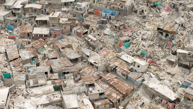
After a 7.0-magnitude earthquake struck Haiti on January 12, 2010, the National Oceanic and Atmospheric Administration (NOAA) sent aircraft on an aerial photography mission. In a report on February 3, NOAA describes how the photographs are used to map transportation routes through the rubble.
